|
Leica Theodolite
The equipments contanct theodolite, prisms,and tripods. The type of our theodolite is TPS307. The equipments can measure distance, orientation, and pitch angle accurately. We can survey ground surface in the field and make the topography model.
|

|
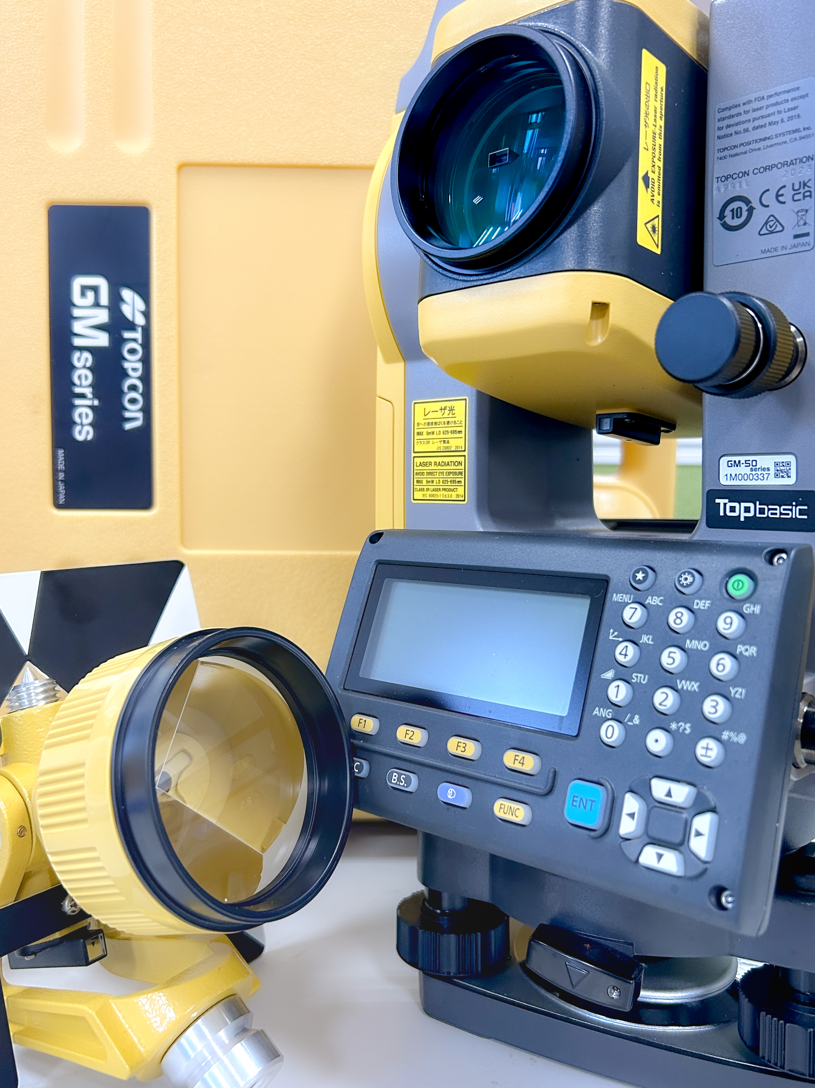
TOPCON GM-50 Total Station
The GM-50 total station is a site layout and survey tool that provides reliability and flexibility without sacrificing functionality with an IP66 rating for water and dust resistance, and a stable and durable design. The measurement range without a camcorder is up to 500 meters, and the camcorder range is up to 4000 meters. The rapid distance measurement of any target can meet the needs of various outdoor uses.
|