|
a. 期刊文章
P. W. Lai and W. J. Huang, 2023, Normal Faults in Bitou and Longdong Areas, Northeastern Taiwan, (in Chinese with English abstract). Central Geological Survey Special Publication No. 36: 43-78.
[PDF]
Y. C. Hsu and W. J. Huang, 2020, Forming Mechanisms and Relation of Chi-Chi Earthquake-induced Uplift Reach of Taan River to Tungshih Anticline, (in Chinese with English abstract). Central Geological Survey Special Publication No. 35: 69-88.
[PDF]
Y. W. Chiou, Y. C. Lin, W. J. Huang, I. C. Yen, M. Le Beon and Y. H. Lee, 2019, Characteristics of the Chishan Fault Zone Exposed around the North End of Zhongliao Tunnel, Southwestern Taiwan, (in Chinese with English abstract). Central Geological Survey Special Publication No. 34: 83-100.
[PDF]
S. J. Fan, W. J. Huang, W. Lo, 2018, Study of Structural Relationship between the Mesoscopic Geological Structures along the Dahan Riverbed and the Daxi Anticline in Taoyuan (in Chinese with English abstract). Central Geological Survey Special Publication No. 33: 31-56.
[PDF]
S. T. Lin, W. J. Huang*, 2017, Deformation Bands in Shihtiping, Eastern Taiwan, Special Publication of the Central Geological Survey,No.31,Nov. 2017, pp.35-64.
[PDF]
莊翔富、謝承恩、藺于鈞(2017)。用UAV看見「觀新藻礁」。地質,36(3),38-41。
[PDF]
邱奕維(2017)。UAV用於集集地震後多年破裂跡沿線局部地形調查。地質,36(3),28-31
[PDF]
謝承恩、尤芊翔(2017)。鳥瞰東北角萊萊地質區。地質,36(3),22-27。
[PDF]
C. S. You, W. J. Huang, W. Lo, T. B. Wang and C. C. Chen, 2016, A study on structural evolution of alkalibasaltic dikes and country rocks in Lailai, northeastern coast of Taiwan by combining aerial photography and electrical prosecting, Central Geological Survey Special Publication (in Chinese with English abstract) 29, 99-126, Dec. 2016.
[PDF]
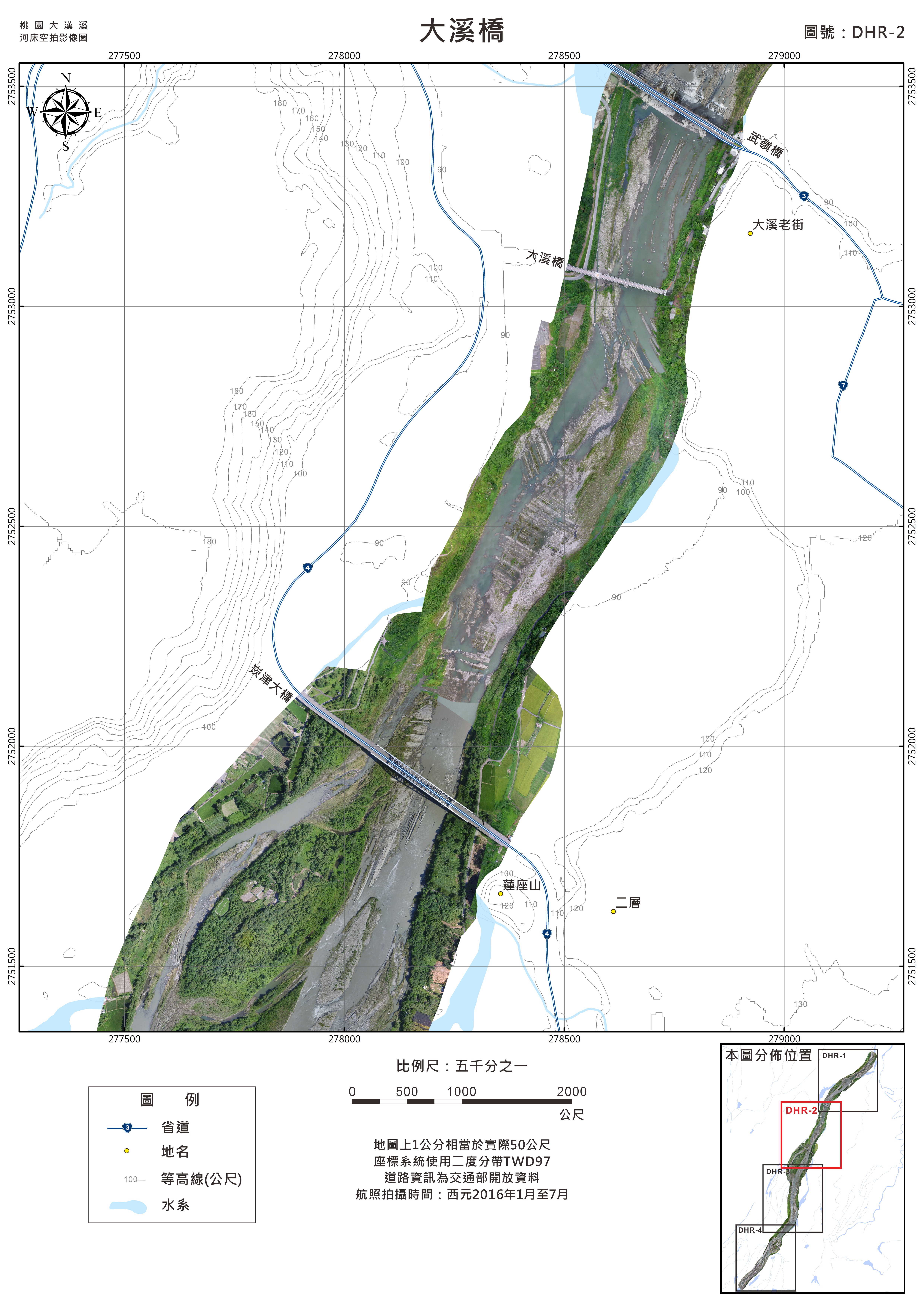
b. UAV空拍正射影像
c. 台灣東部石梯坪區域三維模型
|